

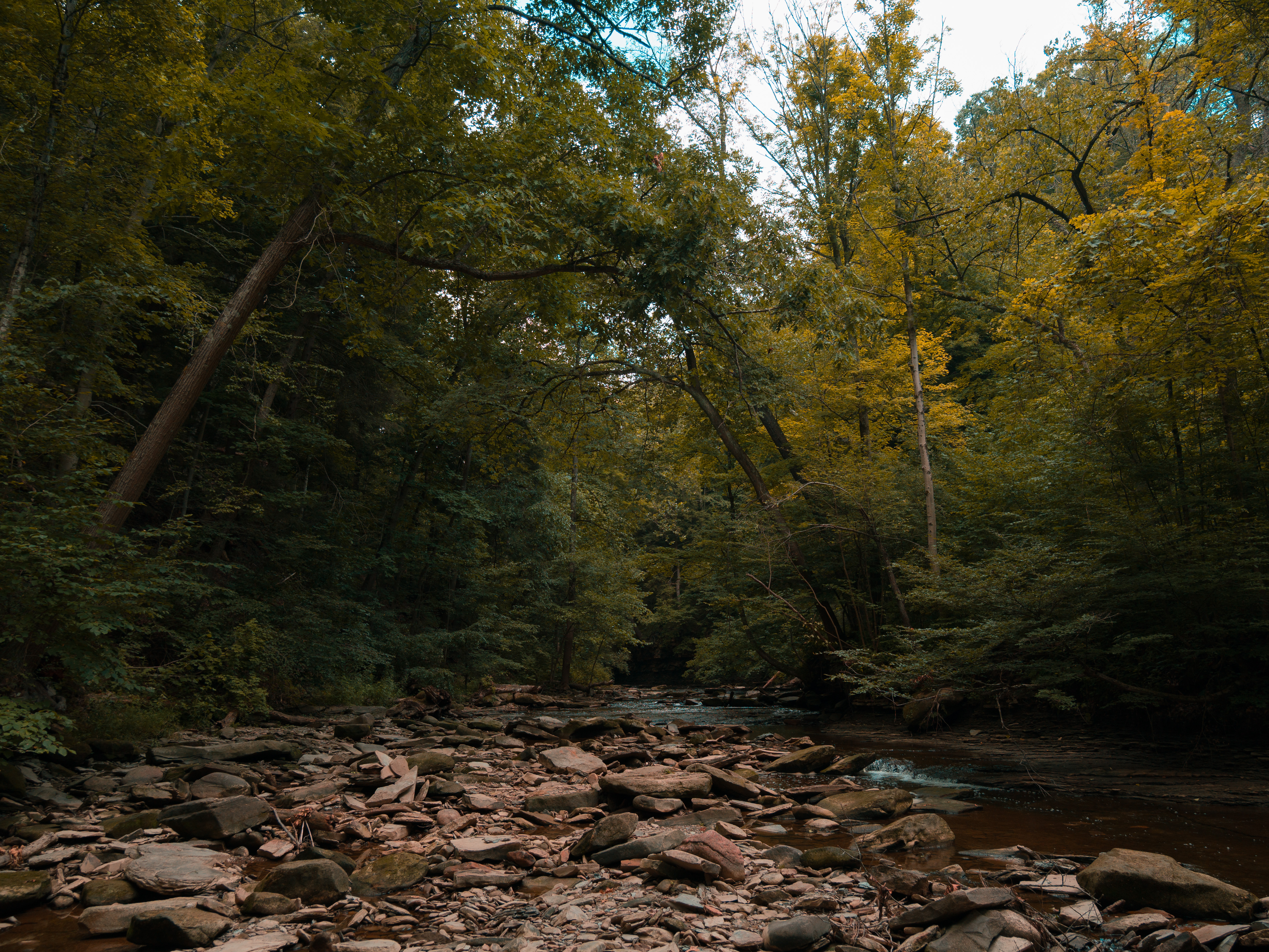
Hiking to Brandywine Falls
How a 5.32-mile hike from the Boston Mill Visitor Center transforms one of Ohio’s busiest destinations into a peaceful journey through forests, rivers, and one of Cuyahoga Valley National Park’s hidden gems.
It’s Easy to See Why Cuyahoga Valley National Park Is So Popular
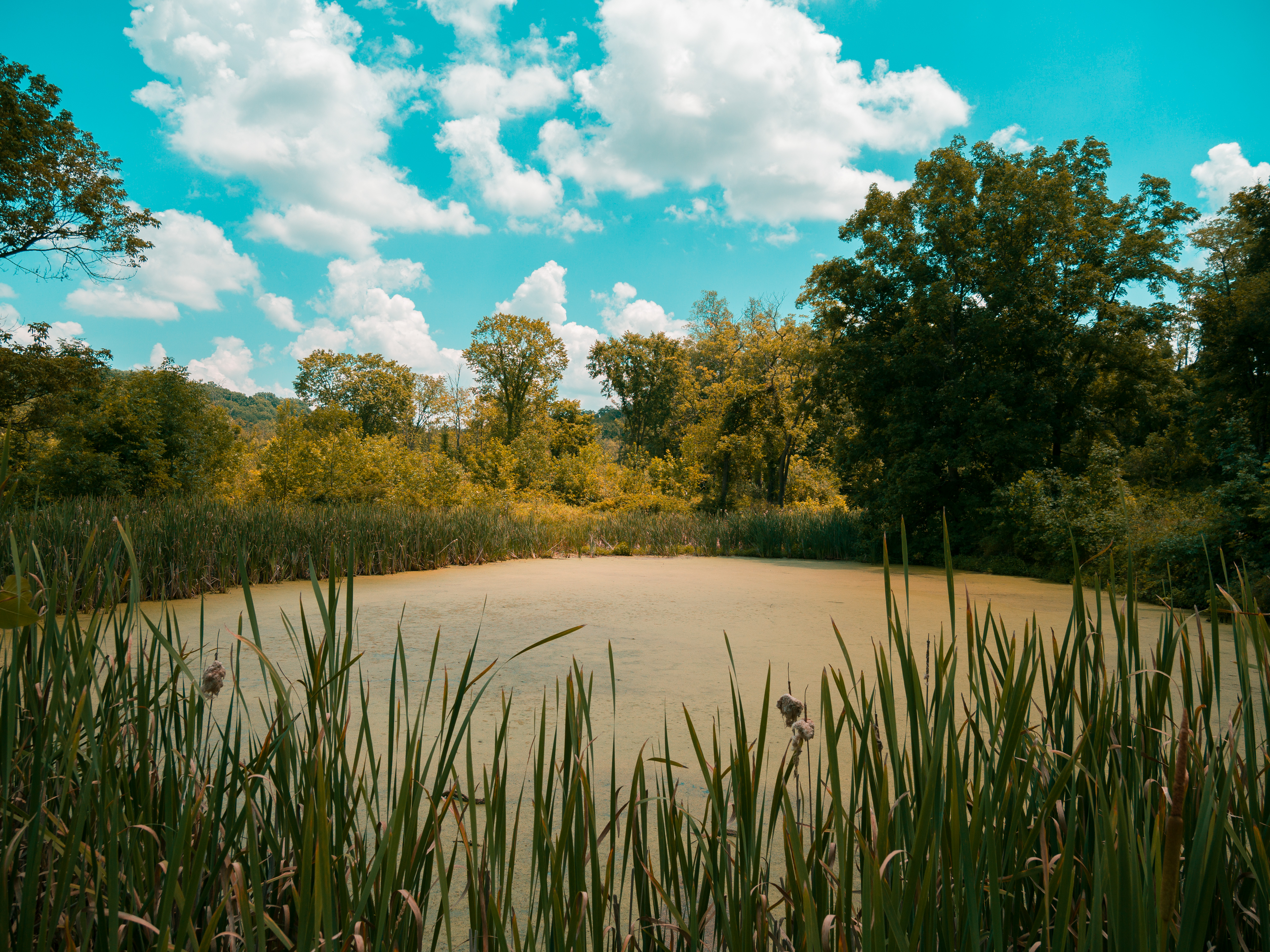
An algae covered pond near the Stanford house.
It’s a little-known fact that Cuyahoga Valley National Park is the 11th most visited national park in the United States. At first, that statistic seems almost impossible to believe. When most people picture America’s national parks, places like Yellowstone, Yosemite, Zion, or the Grand Canyon usually come to mind long before a stretch of protected land nestled between Cleveland and Akron.
Then you visit.
Suddenly, the numbers make perfect sense.
Cuyahoga Valley National Park offers an incredible variety of landscapes packed into a surprisingly small footprint. Waterfalls tumble over ancient shale cliffs. Sandstone ledges rise above quiet forests. Historic railroads weave through river valleys. Miles of exceptionally maintained hiking and cycling trails connect destinations that each have their own unique personality.
Perhaps the park’s greatest surprise, however, is its location.
Surrounded by metropolitan areas, you’d expect to constantly hear traffic or feel the presence of nearby cities. Instead, once you step beneath the trees, the modern world seems to disappear almost instantly. The sounds of highways fade into birdsong, rushing water, and wind moving through the canopy. A few hours later, after finishing your hike, you’re only ten minutes away from a fantastic restaurant or coffee shop.
It’s an incredible balance between wilderness and convenience, and one of the reasons I find myself returning again and again.
For this hike, I decided to skip the traditional approach to Brandywine Falls.
Most visitors park near the Stanford House and take the relatively short walk to the waterfall. There’s absolutely nothing wrong with that route, but I think it misses one of the best hiking experiences in the entire park.
Instead, I began at the Boston Mill Visitor Center.
I visited during the middle of July on a hot afternoon with temperatures hovering around 90°F. As expected, the park was busy. In fact, by the time I arrived, the main visitor center parking lot had already filled to capacity and had been closed.
Fortunately, that’s not the end of the story.
If you continue a little farther down Boston Mills Road, you’ll reach the overflow parking area, which almost always has additional spaces available. That’s exactly where I parked before lacing up my hiking shoes, grabbing my cameras, and setting off on what I believe is one of the best ways to experience Brandywine Falls.
Following the Ohio & Erie Canal Towpath
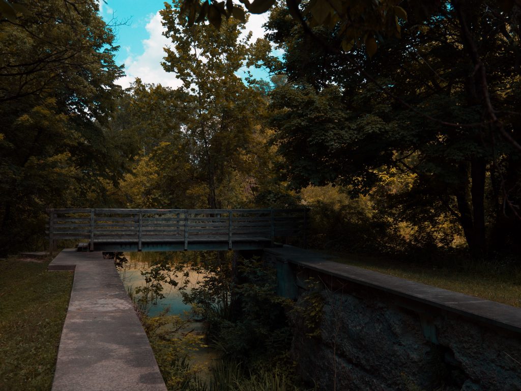
One of the historic locks found along the canal towpath.
No matter which parking lot you use, your first objective is the same: find the Ohio & Erie Canal Towpath Trail.
This historic trail stretches for more than eighty miles across northeastern Ohio, extending well beyond the boundaries of Cuyahoga Valley National Park. Once the route of the Ohio & Erie Canal, it has since been transformed into one of the state’s premier multi-use trails, welcoming both hikers and cyclists year-round.
The first half mile of this hike couldn’t be more approachable.
Unlike the rugged terrain waiting later in the day, the Towpath is wide, level, and surfaced with finely crushed limestone. It’s an easy place to settle into your stride while the morning excitement gives way to the quiet rhythm of hiking.
Cyclists glide past from time to time, disappearing as quickly as they arrive, while towering trees and the history of the old canal corridor provide a peaceful introduction to the adventure ahead.
For roughly half a mile—about 2,600 feet—the Towpath serves as a gentle warm-up. Then, almost without warning, the character of the hike begins to change.
A connector trail branches away from the Towpath, leading toward the historic Stanford House.
This is where the real hike begins.
Entering the Stanford Trail
After following the short connector trail for approximately 800 feet, you’ll cross Stanford Road, pass the historic barn, and arrive at the beginning of the Stanford Trail.
Immediately, everything feels different.
The wide, level Towpath gives way to a trail that feels unmistakably like a traditional woodland hike. Exposed tree roots crisscross the ground beneath your feet. Small elevation changes begin to appear. Even during dry weather, sections of the trail remain damp enough to create patches of slick mud, while other areas are dusty and dry beneath towering hardwoods.
It’s exactly the kind of variety that makes hiking interesting.
The trail first leads through an open meadow surrounding the Stanford House. During our midsummer visit, waist-high grasses, wildflowers, and dense foliage filled the landscape with vibrant shades of green. It was beautiful in a way that only July can be.
I couldn’t help imagining how different this same meadow would look throughout the rest of the year.
In early spring, before the trees have fully leafed out, the landscape opens dramatically. Fresh grasses begin pushing through the soil while the elegant structure of the trees becomes the focal point. Autumn transforms the meadow into an explosion of reds, oranges, and yellows that rival almost anywhere else in Ohio. Even winter has its own quiet beauty, revealing long sightlines that remain hidden during the growing season.
Each visit would feel like hiking a different trail.
Leaving the meadow behind, the Stanford Trail finally enters the forest.
On a ninety-degree summer afternoon, the difference is immediate.
The dense canopy filters the harsh sunlight into a cool green glow, and the temperature drops enough to remind you why forests have always been nature’s air conditioning. After only a few minutes beneath the trees, the heat becomes far more manageable, replaced by the earthy scent of rich soil, moss, and hardwood leaves.
This section of trail continues for roughly 4,000 feet through the beautiful Waldo-Simone Woods Conservation Area, where one of my favorite stretches of the entire hike begins.
Through Waldo-Simone Woods
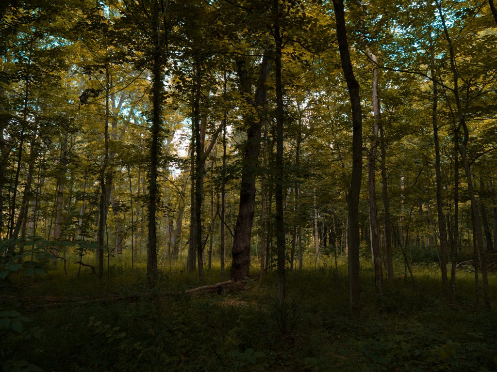 If the Towpath serves as a gentle introduction to the hike, the Waldo-Simone Woods Conservation Area is where the trail begins to reveal its personality.
One of the first things I noticed was how different this forest feels compared to many others in Ohio. While the canopy overhead is thick enough to keep the sun at bay, the understory remains surprisingly open. Instead of staring into a wall of brush and tangled vegetation, you can actually see deep into the woods in nearly every direction. It gives the forest a spacious feeling that’s difficult to describe until you experience it for yourself.
Every few hundred yards, the scenery changes just enough to keep your attention.
Small wetlands appear between the trees. Moss-covered ponds quietly reflect the surrounding forest. Massive hardwoods stretch toward the canopy while shafts of sunlight occasionally find their way through the leaves, illuminating patches of emerald moss below. It’s one of those trails where your pace naturally slows because there’s always something else worth looking at.
Eventually, after roughly three-quarters of a mile, you’ll reach the first major decision of the day.
Choose Your Own Adventure
One of the things I love most about this hike is that it gives you options.
At the first fork, you can head left, which adds a little more distance before eventually bringing you back toward Brandywine Falls.
I almost always go right.
It’s the more direct route to the falls, and more importantly, it leads into one of the most unexpectedly challenging climbs in Cuyahoga Valley National Park.
If you’re only looking at trail ratings, you might assume this hike is fairly moderate.
I think that’s a little misleading.
No, you aren’t climbing thousands of feet like you would on a trail in Yosemite or Rocky Mountain National Park. But Ohio has a habit of hiding its elevation, and this trail is a perfect example.
Almost immediately after taking the right fork, the trail begins to climb.
And climb.
And climb.
The Climb Everyone Underestimates
The full hike gains roughly 525 feet of elevation, and the vast majority of that climbing happens over the next section of trail.
The numbers don’t necessarily sound intimidating until you realize how concentrated the climb really is.
Over the next 3,500 feet, you’re steadily working your way uphill through roots, uneven dirt, exposed rock, and a trail that seems determined to remind you that gravity exists.
I honestly don’t understand why more people don’t talk about this section.
During my hike, I passed at least a dozen people making their way uphill, and nearly every one of them looked like they were putting in some honest work. Heads were down. Conversations had become shorter. Water bottles were making more frequent appearances.
The funny part is that the climb almost sneaks up on you.
The first few miles are pleasant and relatively forgiving. Then suddenly you’re looking uphill thinking,
“Well… I guess we’re doing this now.”
Fortunately, the hardest work doesn’t last forever.
By about the halfway point of the climb, you’ve conquered most of the elevation gain. The grade gradually eases, the trail widens, and before long you’re transitioning from a rugged woodland path onto a much more developed trail system.
Crushed limestone replaces roots and mud.
The footing becomes easier.
The forest begins opening up.
And then you know you’re getting close.
Brandywine Falls
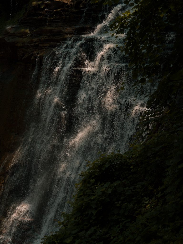
Brandywine Falls in Cuyahoga Valley National Park.
The first thing that surprises everyone isn’t wasn’t the waterfall.
It’s the boardwalk.
I’d forgotten just how massive the viewing platform really is.
Stretching nearly 1,000 feet in total length, the wooden boardwalk is an impressive piece of engineering all by itself. Multiple overlooks allow visitors to experience the waterfall from several different elevations, with long staircases carrying you from the upper viewing areas down toward the gorge below.
If your legs are already feeling the climb, don’t worry.
They’re about to get another workout.
You’ll descend several stories of stairs to reach the lower overlooks, and of course, every one of those stairs has to be climbed again before you leave.
It’s absolutely worth it.
Brandywine Falls is one of Ohio’s most recognizable natural landmarks for good reason. Water pours gracefully over a 65-foot shale cliff, framed by dense forest that seems to wrap around the gorge like a natural amphitheater. Whether it’s your first visit or your fiftieth, it’s difficult not to pause for a few minutes and simply watch the water disappear into the valley below.
This is also where you’ll encounter the largest crowds of the day.
On a warm summer weekend, the boardwalk is alive with visitors from every corner of the world. Families, photographers, hikers, and travelers speaking a dozen different languages all gather to experience the same waterfall.
And honestly…
I love that.
Sometimes, living in Ohio, it’s easy to forget just how remarkable this place really is. Seeing people travel from across the country—and across the globe—to experience a place that’s only a short drive from home is a wonderful reminder not to take it for granted.
Despite the crowds, I never felt crowded.
The boardwalk is wide enough to comfortably accommodate everyone, and there are plenty of overlooks where you can take your time, enjoy the view, and make photographs without feeling rushed.
I’ve photographed Brandywine Falls dozens of times over the years, so this visit wasn’t really about capturing the waterfall itself.
It was about the hike.
I took a few photographs, admired the view for a while, and then continued toward what I believe is the most overlooked section of the entire journey.
Because while many visitors simply turn around and head back the way they came…
…I crossed the road.
And that’s where everything changed.
Where the Crowds Disappear
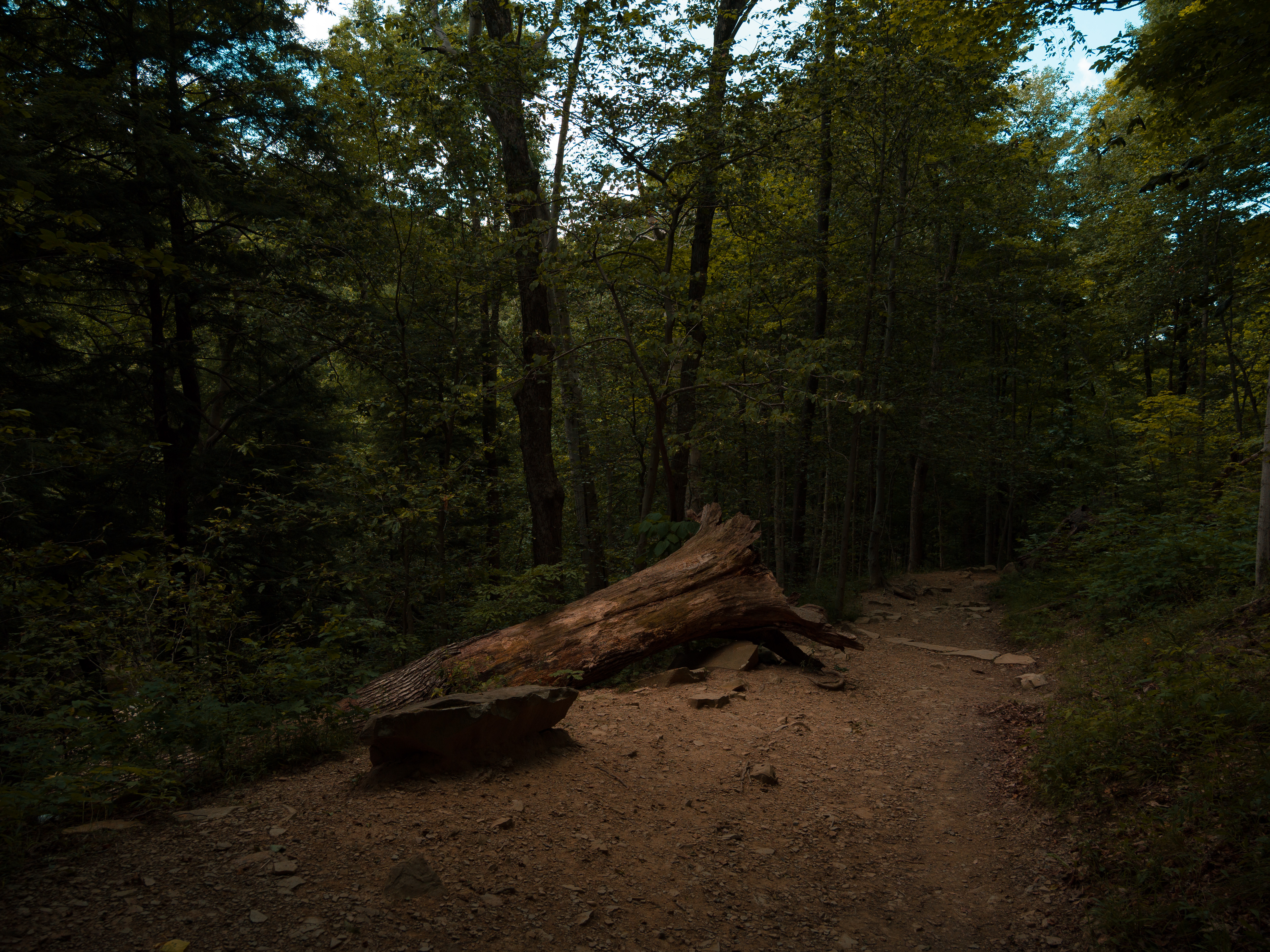
The trail becomes empty on the far side of the Brandywine Falls loop.
As beautiful as Brandywine Falls is, I didn’t spend very long there.
Not because I wasn’t enjoying it, but because I knew something most visitors never experience was waiting just a few minutes away.
Instead of retracing my steps back through the forest, I crossed Brandywine Road, walked over the bridge spanning Brandywine Creek, and picked up the trail on the opposite side of the valley.
Almost immediately…
…the crowds disappeared.
It’s remarkable how quickly the atmosphere changes. Within only a few minutes of leaving one of Ohio’s busiest attractions, the conversations fade away, the boardwalk disappears behind you, and you’re once again surrounded by little more than trees, birdsong, and the sound of moving water.
If I had to choose my favorite section of this entire hike, this would probably be it.
The trail gently follows the opposite side of Brandywine Creek for roughly 1.23 miles, and while it isn’t nearly as strenuous as the climb to the falls, I actually think it’s the most beautiful stretch of the day. The valley opens in different ways, the forest feels wilder, and because so few people choose this route, there’s a wonderful feeling of having discovered something that belongs only to you.
It feels less like visiting a famous attraction…
…and more like wandering into your own private corner of the national park.
Stepping Off the Trail
One of my favorite moments happened because I decided to leave the trail for a few minutes.
Not far from the falls, I spotted a small opening through the undergrowth leading toward the creek. Being careful not to disturb the surrounding vegetation, I worked my way through the brush until I reached the water’s edge.
Suddenly…
…I was completely alone.
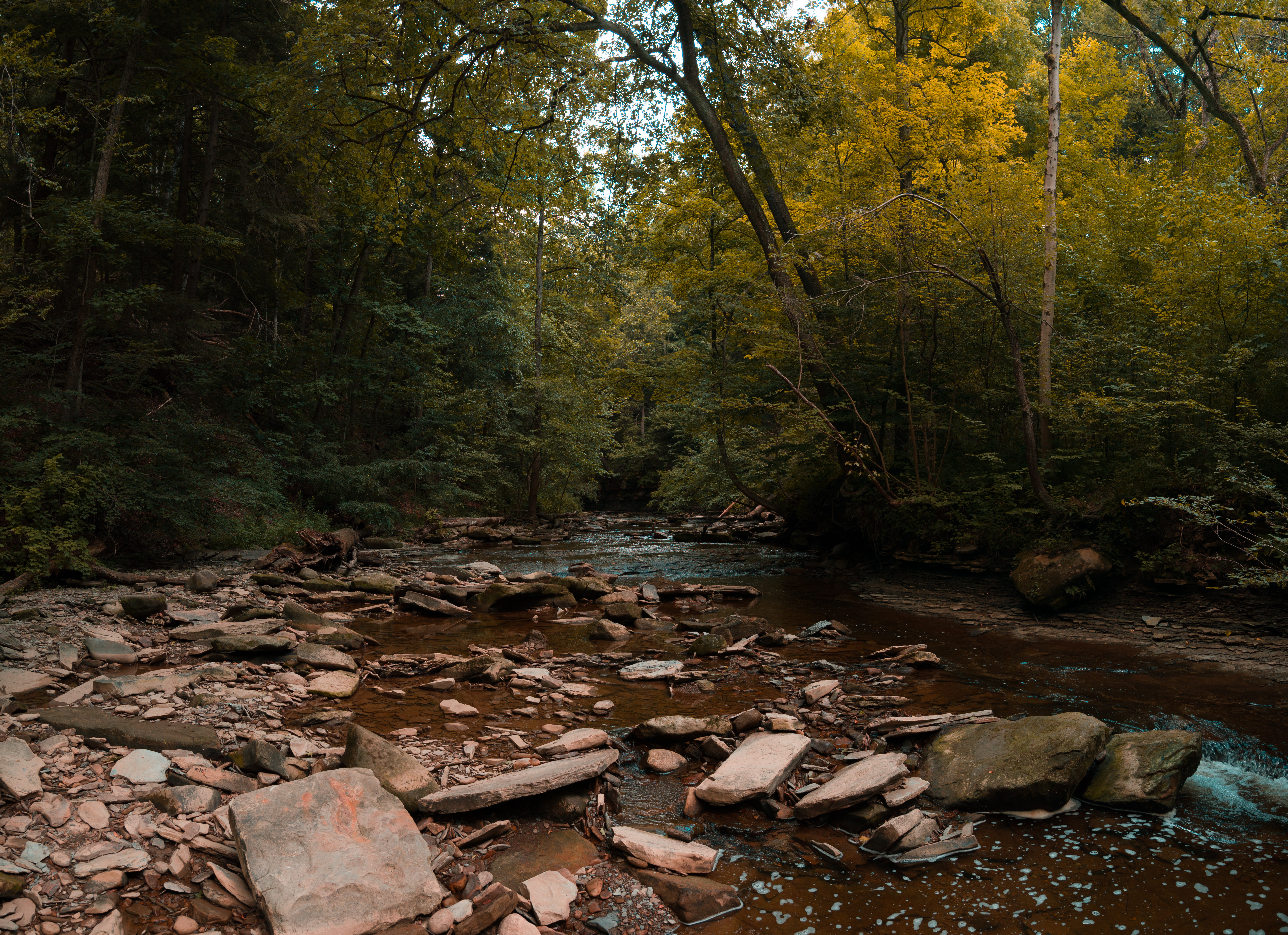
Massive boulders sat scattered throughout the creek. The valley walls climbed steeply on either side, wrapping the river in a cathedral of sandstone and hardwoods. Above me, the forest canopy filtered the afternoon sunlight into soft patches of green, while Brandywine Creek quietly worked its way downstream over rocks that had been shaping this valley for thousands of years.
I climbed onto one of the larger boulders, set my backpack down beside me, and simply sat.
By that point in the hike, my legs were beginning to remind me that we’d already covered several miles, climbed more than five hundred feet, and spent the better part of the afternoon exploring the valley.
So I stopped.
Not because I had to.
Because I wanted to.
I took a few photographs.
Listened to the creek.
Watched the light dance across the water.
And for several minutes…
…I relaxed, took photos, and did nothing.
It’s funny how powerful a short break can be.
When I finally stood up to continue hiking, I expected my legs to protest.
Instead, I felt completely refreshed.
It wasn’t just the physical rest. It was the quiet. The stillness. The opportunity to simply exist in a beautiful place without feeling like I needed to be moving toward the next destination.
That short stop ended up becoming one of my favorite memories of the entire day.
Why Good Gear Matters
This is also where I was reminded that the right gear doesn’t just make hiking easier.
It makes hiking more enjoyable.
On shorter hikes of two or three miles, you can often get away with carrying very little. Even on warm days, most people can manage with a bottle of water and a light pack.
Once you begin stretching your hikes into the five-, six-, or even ten-mile range, everything changes.
Comfort becomes part of the experience.
For this hike, I carried an Osprey Sirrus 24-liter backpack, and by the end of the day I was incredibly thankful I did.
Inside was everything I needed for several hours on the trail: my OM SYSTEM OM-1 Mark II with the versatile M.Zuiko 12-100mm f/4 PRO, a Lumix G7 infrared camera, snacks, a compact first-aid kit, a small utility knife, and a two-liter hydration bladder.
It isn’t exactly a lightweight load.
Yet the backpack never felt heavy.
A properly fitted hiking pack transfers most of the weight onto your hips instead of your shoulders while allowing air to circulate across your back. Instead of constantly adjusting straps or wishing you’d packed less, you simply forget it’s there and enjoy the hike.
The same goes for footwear.
I wore a pair of Keen Jasper shoes. Although Keen markets them as casual shoes, they’re really much closer to an approach shoe—the type of footwear climbers wear while hiking to technical rock routes.
That makes them almost perfect for a trail like this.
Throughout the day I’d walked across exposed roots, loose dirt, slick mud, uneven sandstone, gravel, and plenty of rocks trying their best to twist an ankle. The sticky rubber soles inspired confidence on every surface, allowing me to focus on the scenery instead of worrying about every footstep.
To me, that’s what good hiking gear is supposed to do.
It disappears.
The less time you spend thinking about your backpack or your shoes, the more time you spend noticing the forest around you.
And that’s the whole point.
Completing the Loop
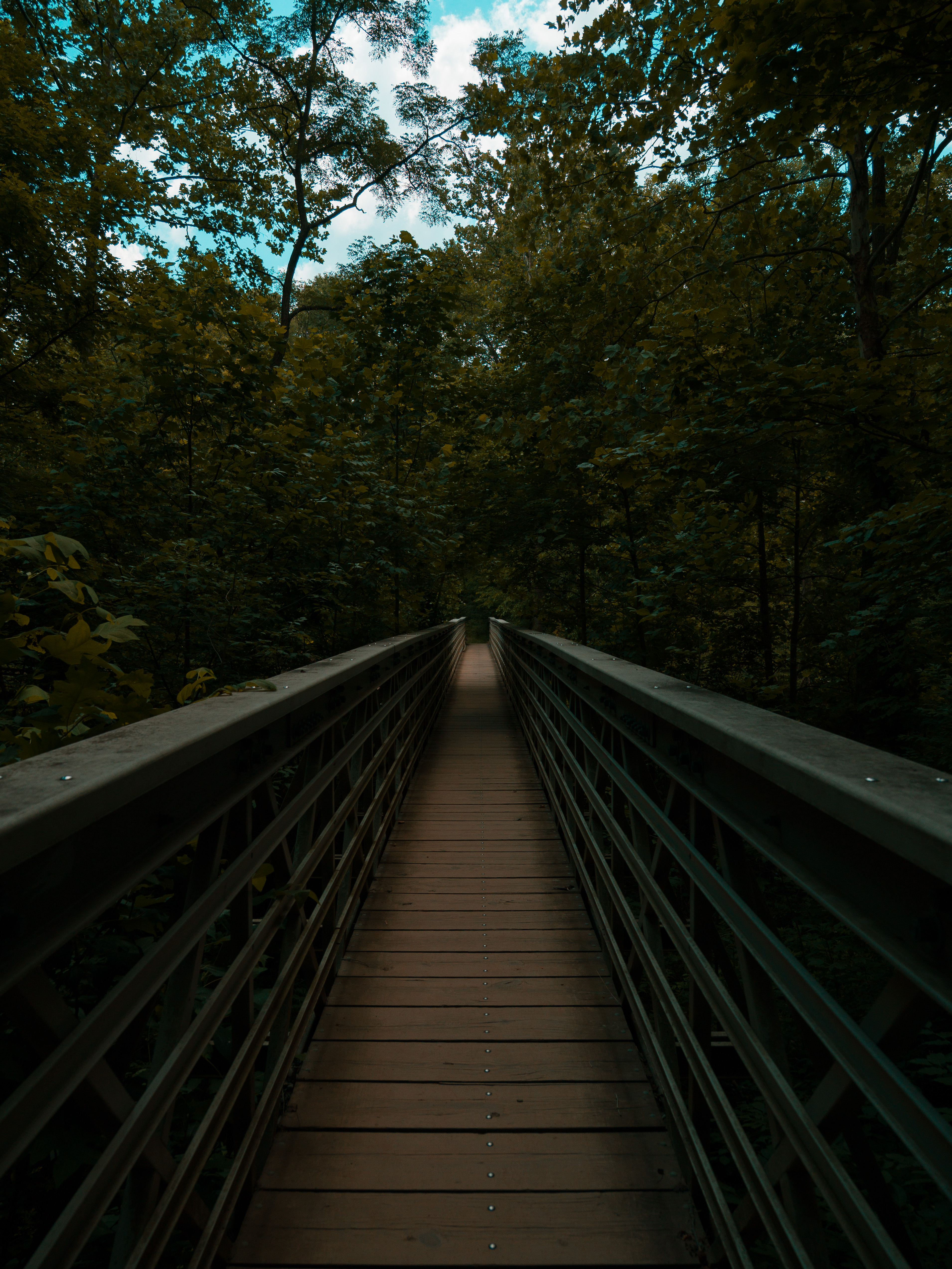
The bridge that crosses back over the Brandywine Creek and leads you back.
Eventually, the trail crosses Brandywine Creek one final time before reconnecting with the earlier portion of the hike.
From here, you’ll find yourself back at the familiar fork where the day’s biggest climb first began.
There really aren’t any more decisions to make.
The route simply retraces your steps through Waldo-Simone Woods, across the meadows near the Stanford House, along the Towpath Trail, and finally back toward the Boston Mill Visitor Center.
Normally, hiking the same trail twice might sound repetitive.
Here…
…it somehow isn’t.
In fact, I often enjoy the return journey just as much as the hike out.
Walking the trail in reverse reveals entirely different views. Light falls differently through the trees. Landmarks that seemed hidden suddenly stand out. The forest you’ve already walked through somehow feels new again, proving that perspective alone can completely change the experience.
By the time I reached the visitor center, I wasn’t thinking about the miles.
I was already thinking about when I’d come back.
Back to Boston Mill
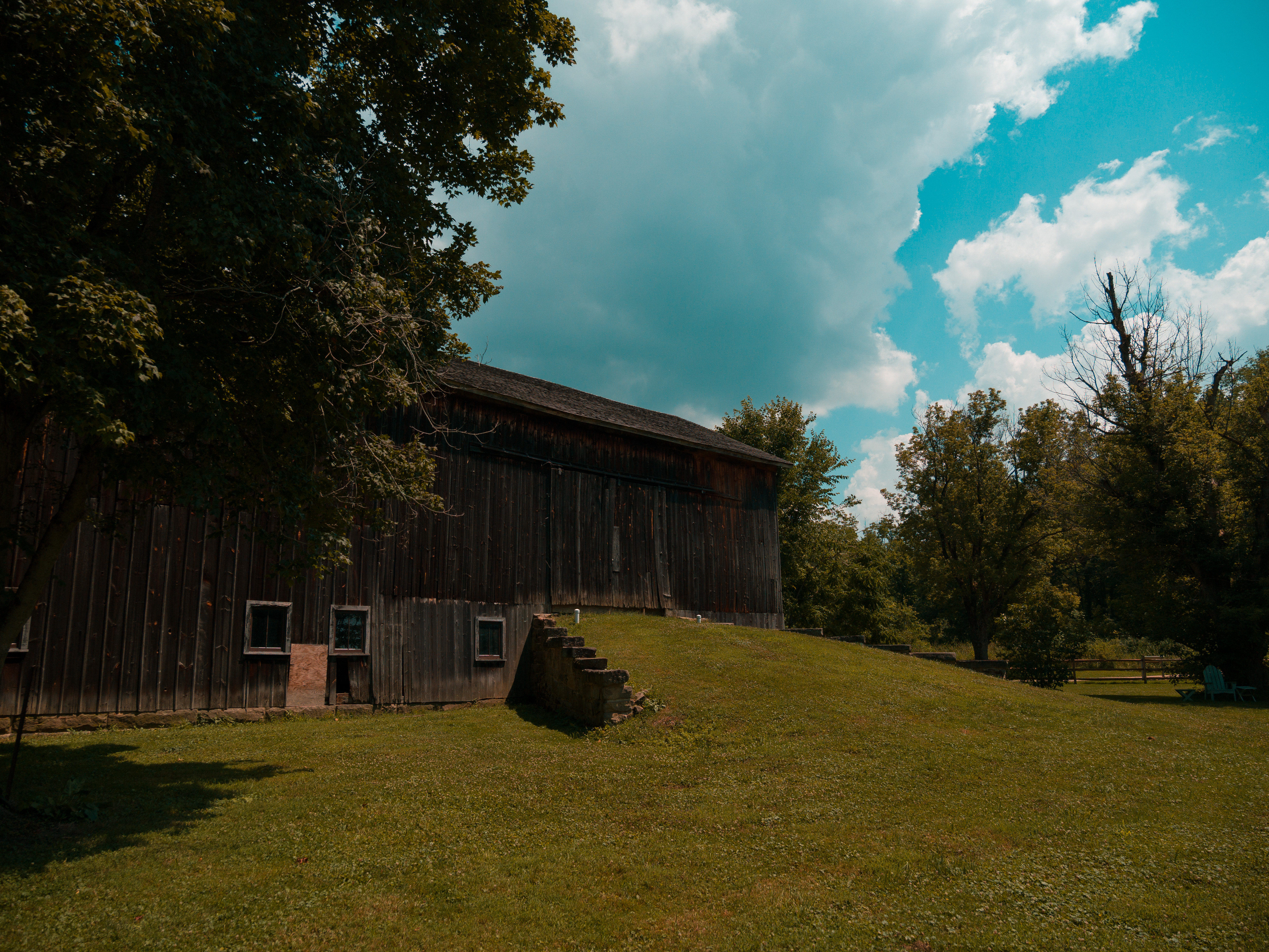
The barn at the Stanford House – standing true to this day.
Eventually, the trail delivers you back to where the day began.
The familiar paths through Waldo-Simone Woods, the Stanford Trail, the connector path, and finally the Ohio & Erie Canal Towpath all guide you back toward the Boston Mill Visitor Center. Even though you’re technically retracing your steps, it never feels repetitive. Hiking the same trail in the opposite direction has a way of revealing details you somehow missed only a few hours earlier. Light falls differently through the trees. Landmarks appear from a completely different perspective. It feels less like walking home and more like experiencing a familiar place with fresh eyes.
By the time I reached the visitor center, I’d covered 5.32 miles with approximately 525 feet of elevation gain.
My legs were definitely ready to call it a day.
Fortunately, so was the visitor center.
I don’t know what they’re doing with the refrigerators inside, but somehow every drink they sell feels like it’s one-tenth of a degree above freezing. After spending hours hiking through ninety-degree temperatures and summer humidity, that first sip of an ice-cold drink borders on a religious experience.
If you have a few extra minutes, it’s also worth wandering through the gift shop. They carry some genuinely nice apparel, books, maps, and souvenirs, and many of the purchases help support the Conservancy for Cuyahoga Valley National Park. I almost always find an excuse to leave with another T-shirt.
Some habits are worth keeping.
Final Thoughts
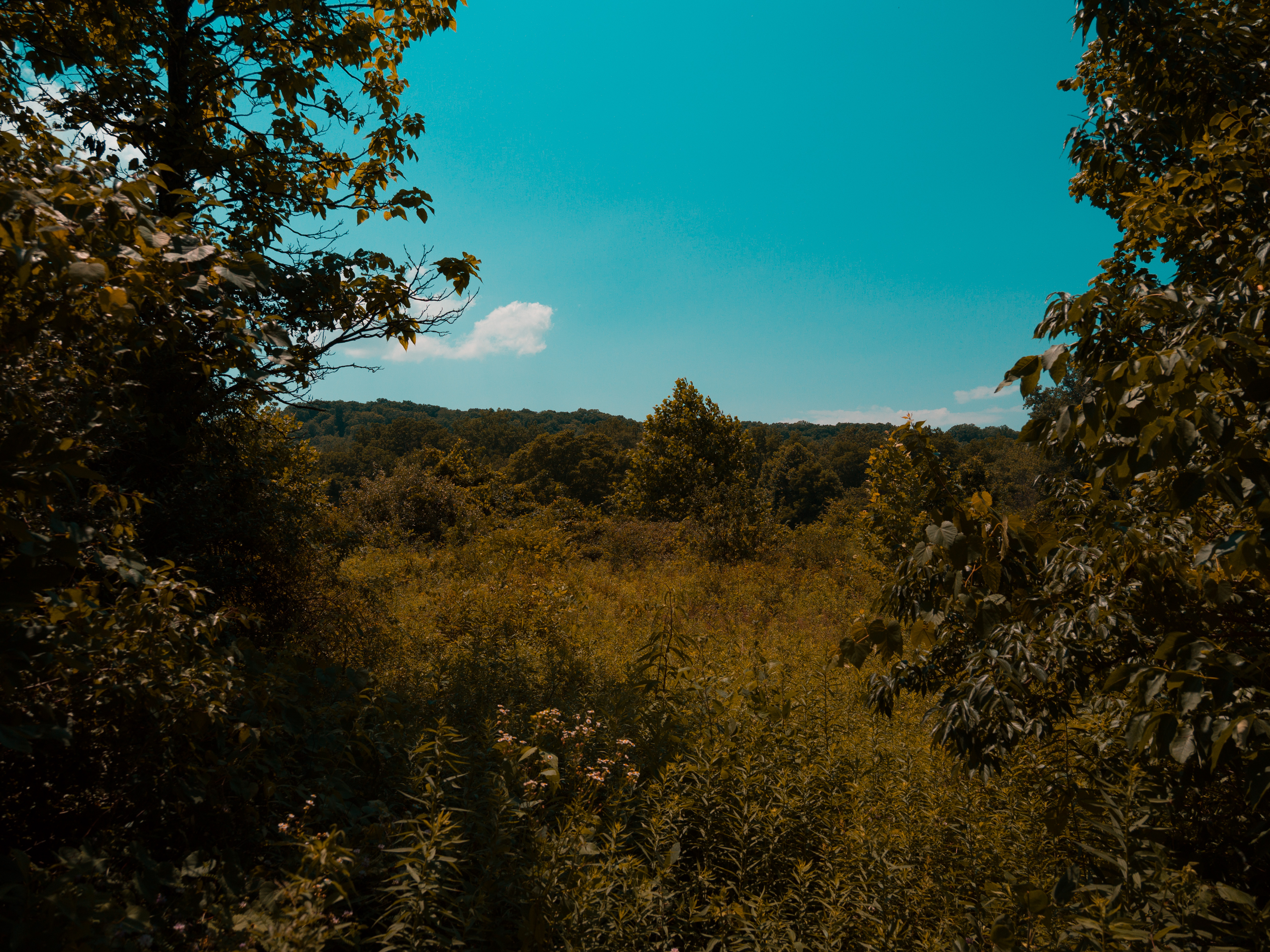
Peering through the trees at a restored meadow on my way back to the car.
One criticism you’ll occasionally hear about Cuyahoga Valley National Park is that some of its most popular destinations can become crowded.
They’re right.
On a beautiful summer weekend, Brandywine Falls attracts families, photographers, hikers, tourists from around the world, and locals rediscovering one of Ohio’s most beautiful places. It’s one of the park’s signature landmarks, and it’s easy to understand why so many people want to experience it.
But here’s what I’ve learned.
You don’t have to experience the crowds just because the destination is popular.
By starting at the Boston Mill Visitor Center instead of parking closer to the falls, you transform Brandywine Falls from a quick sightseeing stop into a genuine hiking adventure. Instead of spending ten minutes on a boardwalk, you spend hours wandering through quiet forests, climbing rolling hills, following historic trails, and sitting beside Brandywine Creek with no one else around. You discover viewpoints that most visitors never see before eventually arriving at one of Ohio’s most iconic waterfalls.
The destination hasn’t changed.
You have.
By the time you reach the falls, you’ve earned them.
That’s what I love most about this route. The waterfall is spectacular, but it isn’t the whole story. The forests, the climb, the quiet moments beside the creek, the cool shade beneath the canopy, and the constantly changing terrain are the memories that stayed with me long after I returned home.
As a photographer, I spent the day with my OM SYSTEM OM-1 Mark II in my hands, constantly finding new compositions, interesting light, and details that most people simply walk past. Hiking with a camera naturally slows you down. Instead of rushing from landmark to landmark, you begin noticing the textures of sandstone, reflections in quiet pools, shafts of sunlight filtering through the trees, and the countless little moments that make every trail unique. That’s something no map can show you.
If you’ve never hiked Brandywine Falls this way, I can’t recommend it enough. Wear comfortable shoes, bring plenty of water, and give yourself permission to slow down. Spend a few minutes sitting beside the creek. Stop when something catches your eye. Let the hike unfold at its own pace instead of racing from one landmark to the next.
Because sometimes the best part of a hike isn’t the famous destination waiting at the end.
Sometimes it’s the quiet place you discover along the way that wasn’t on anyone else’s itinerary.
And if, after all that, you find yourself sitting in the Boston Mill Visitor Center parking lot with an ice-cold drink in your hand, tired legs, muddy shoes, and a camera full of photographs, don’t be surprised if you’re already planning your next trip before you’ve even driven away.
Trail Summary
Distance: 5.32 miles
Elevation Gain: Approximately 525 feet
Starting Point: Boston Mill Visitor Center
Trail Type: Loop with out-and-back sections
Difficulty: Moderate (with one surprisingly strenuous climb)
Best For: Hikers, photographers, birders, families with hiking experience, and anyone looking to experience Brandywine Falls without spending the entire day surrounded by crowds.